Welcome to Panjin Shunsheng Petroleum Technology Co., Ltd.

UAV Magnetic Detection Method for Unexploded Ordnance
Contact
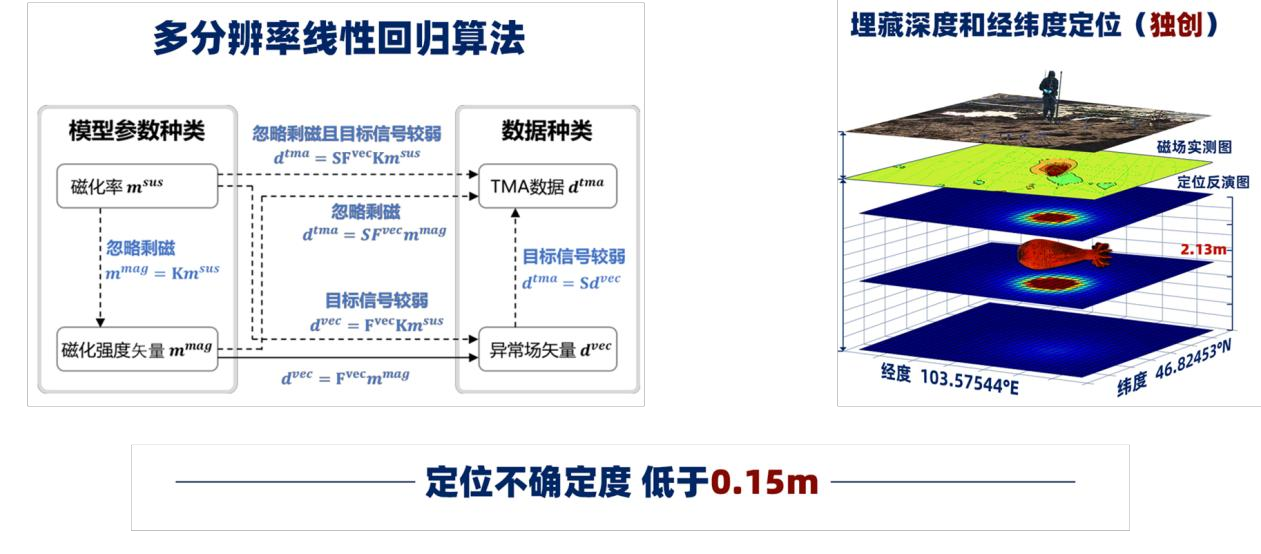
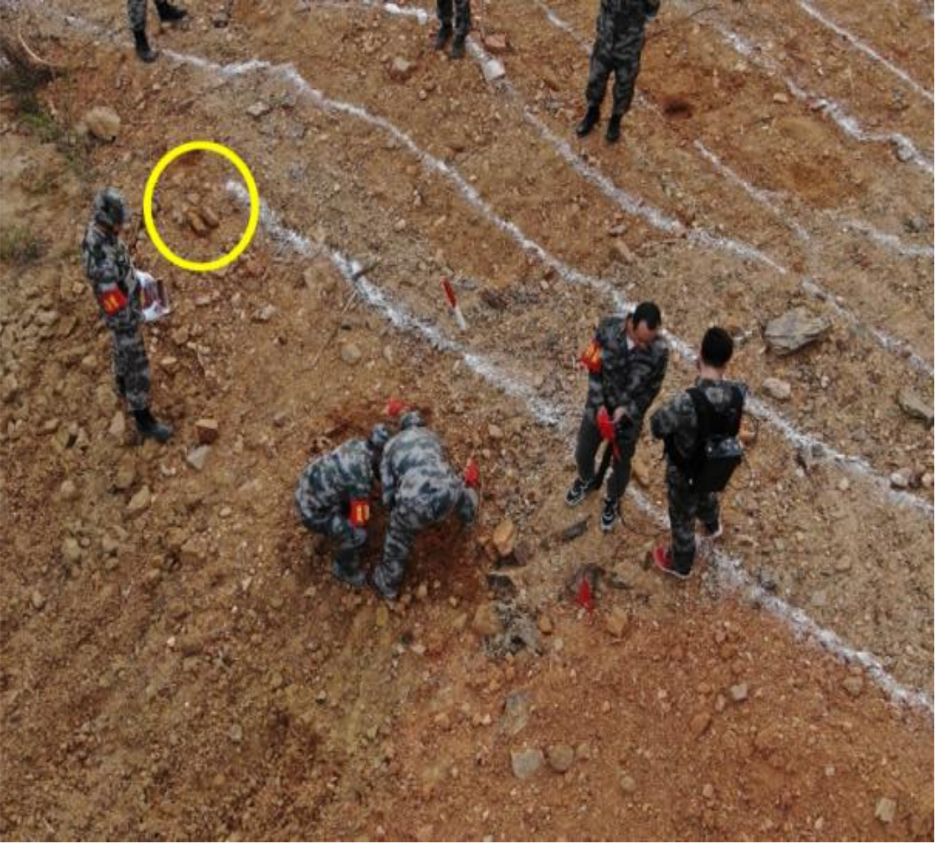
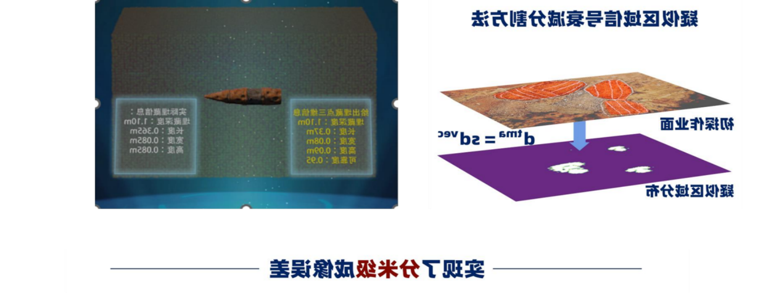
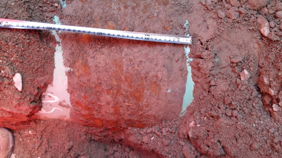
UAV magnetic detection for unexploded ordnance uses UAV 3D LiDAR to scan the site, generating an orthophoto, 3D laser point cloud, and high - precision digital elevation model (DEM) of the detection area. On the digital elevation model, terrain - following flight paths are planned with a line spacing of 1 - 5m, a flight height of 1.5 - 5m above the ground, a sampling frequency of 10Hz, and a flight speed of 2 - 5m/s. The RTK GPS has a horizontal positioning accuracy of better than ±0.02m. According to the pre - planned flight paths, high - precision UAV magnetic data is collected, and simultaneous geomagnetic diurnal variation observations are carried out. After data collection, the analytic signal method is used to identify the locations of unexploded ordnance, and the Euler 3D inversion method is used to calculate the approximate burial depth of unexploded ordnance. Results such as the UAV magnetic △T contour plan, magnetic gradient analytic signal plan, orthophoto of the detection area, 3D laser point cloud data, and a list of inferred unexploded ordnance coordinates are submitted, and suggestions for subsequent ground excavation work are provided.
Previous page:No data
Next page:No data
Related suggestion
Online consultation
